
On our news page, we regularly like to feature updates on innovations happening in laser marking and the greater laser industry. With that in mind, we decided to highlight one recent fascinating use of lasers – their role in uncovering the ruins of an ancient Maya settlement!
What Have Researchers Found?
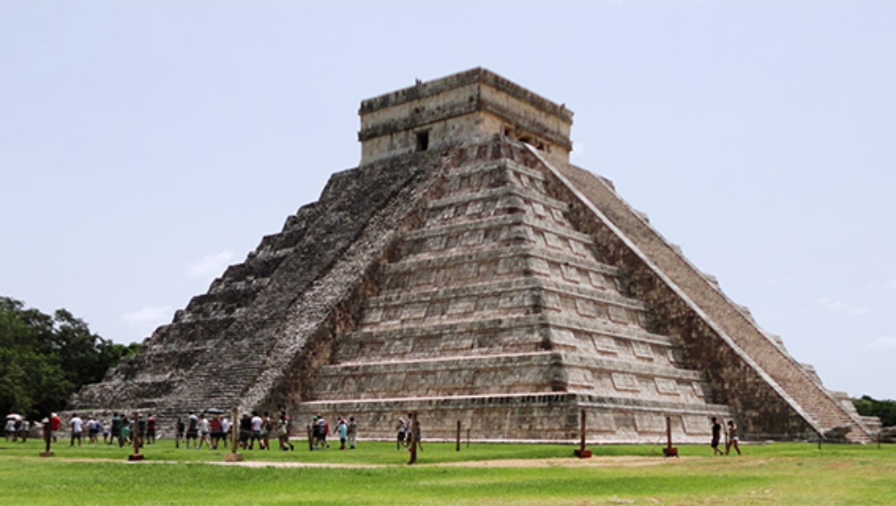
As the New York Times reports, in the jungles of northern Guatemala, researchers have been able to uncover previously unknown settlements of the Maya people. These settlements, which incorporate tens of thousands of structures, were located near the ancient city of Tikal but had been covered in jungle growth since they were utilized by the Maya more than a millennium ago.
Among the discoveries are homes, tombs, palaces, and other structures built by the Maya, whose Classic Period lasted from A.D. 250 to 900. The culture’s approach to agriculture, the arts, and astronomy during its reign has been heralded by modern experts, and the new discoveries give researchers even more to pour over.
Prior to the findings the Maya were believed to have a total population of a few million during their Classic Period, but Maya specialist Diane Davies states that the newly acquired data could show a population estimate closer to 10 million.
The breadth of the findings has been of great interest to researchers. As the Times reports, archaeologist Dr. Thomas Garrison said of the discovery:
“Everywhere that we looked, there was more settlement than we expected. We knew there was going to be more, but the scale of it really blew our minds.”
How Were the Discoveries Made?
Researchers were able to uncover these ruins by using a system called Light Detection and Ranging, or lidar. Lidar utilizes pulsed laser light shooting down from an airplane or helicopter to survey a region’s landscape and produce a 3D image of its topographical features.
Lidar has been used at archaeological sites around the world, with its origins dating as far back as the early 1960s, but this lidar project by Guatemalan nonprofit Pacunam is the largest ever attempted. Over 800 square miles of the Maya Biosphere Reserve in Guatemala’s Petén region were mapped, leading to this amazing discovery.
Some other key details about Pacunam’s project:
- The ruins found by the lidar 3D mapping often have the appearance of rocky mounds, but to the trained eye, quarries, palaces, and streets can be identified
- Additional structures that were uncovered during the surveying included roads that had been built above wetland areas to help farmers traverse to markets and cities, along with ruins identified as dwellings and irrigation systems
- Over $600,000 was spent on the lidar project by Pacunam, with this portion only being the first phase
To say that researchers are ecstatic about all this project was able to uncover and its potential for future discovers would be an understatement. As Dr. Garrison stated, “I don’t think you see a lot of discoveries happening across the sciences right now that sort of turn a discipline on its head. It’s exciting to know that it can still happen.”
The versatility and utility of lasers truly is amazing!